

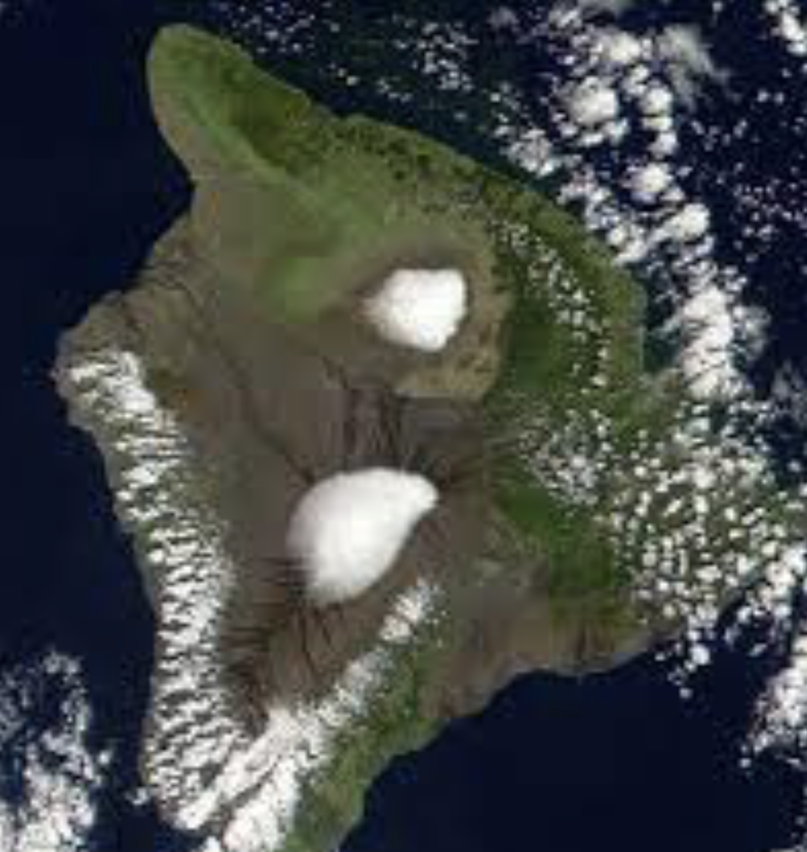
The National Weather Service has issued a Winter Storm Watch for Maunakea and Mauna Loa from 6 p.m. this evening through late Tuesday Night.
Deep moisture will spread over the area from the southeast, while a nearby trough aloft maintains sub-freezing temperatures over the Summits. Periods of snow and freezing rain are expected, with the potential for heavy snow.
- WHAT: Heavy snow and freezing rain possible. Total snow accumulations of up 6 to 8 inches possible.
- WHERE: Big Island Summits.
- WHEN: From 6 PM HST this evening through late Tuesday night.
- IMPACTS: Travel could be very difficult to impossible.
- PRECAUTIONARY/PREPAREDNESS ACTIONS: A Winter Storm Watch means there is potential for significant snow or ice accumulations that may impact the summits. Anyone planning travel to the summits, including hikers and campers, should monitor the latest forecasts and consider postponing their trip until the threat of unsettled weather diminishes.
The County released the following Civil Defense message (however, It’s not on the National Weather Service advisories right now)
This is a Flash Flood Watch message for Sunday, March 7th.
The National Weather Service has issued a Flash Flood Watch for Hawaii Island beginning at 6:00 pm this evening and running through Wednesday night.
A Flash Flood Watch means that conditions are favorable for flash flooding.
Due to the Flash Flood Watch, the following are issued:
- Be prepared to take action if a Flash Flood Warning is issued.
- All Residents in flood prone areas are asked to prepare their property and to remain alert for flooding conditions.
- Be aware that road closures may occur without notice.
- Do not attempt to cross flowing water in a vehicle or on foot; turn around don’t drown.
- Stay tuned to your radio for updates and changes in conditions.