

A report summarizing initial public input about the disaster recovery project to repair and/or replace critical infrastructure in Hawai‘i Volcanoes National Park, and U.S. Geological Survey-operated facilities and equipment damaged during the 2018 eruption and summit collapse of Kīlauea volcano, is now available.
The Civic Engagement and Comment Analysis Report can be viewed on the National Park Service (NPS) Planning, Environment and Public Comment website (PEPC), https://parkplanning.nps.gov/havodisasterrecovery. The comments received are being considered and used for refining a design concept and developing the National Park Service and USGS’s proposed action.
Once the proposed action is developed, the NPS and USGS will seek additional community input through public scoping prior to the environmental analysis process, tentatively planned for early 2021.

“We are deeply appreciative of everyone for taking the time to comment, and the public can be assured you will continue to have a voice in shaping the future of Hawai‘i Volcanoes National Park,” said Acting Superintendent Rhonda Loh.
“The USGS is very grateful for the thoughtful public input that will help USGS Hawaiian Volcano Observatory continue its mission to monitor active volcanoes in Hawai’i, assess their hazards, issue warnings, and advance scientific understanding to reduce impacts of eruptions,” said Acting HVO Scientist-in-Charge David Phillips.
Hawai‘i Volcanoes National Park and USGS conducted civic engagement with the community to consider and refine four initial design concepts for the proposed HAVO Disaster Recovery Project via a virtual civic engagement process May 15 through June 15, 2020.
The project includes plans for the potential future use of the Uēkahuna Bluff area, a site considered sacred to many Native Hawaiians and other groups. It also presents solutions to overcrowding at Kīlauea Visitor Center.
Out of 159 pieces of communication received from nine states, 78 percent were from Hawai‘i residents, and one comment was from Great Britain.
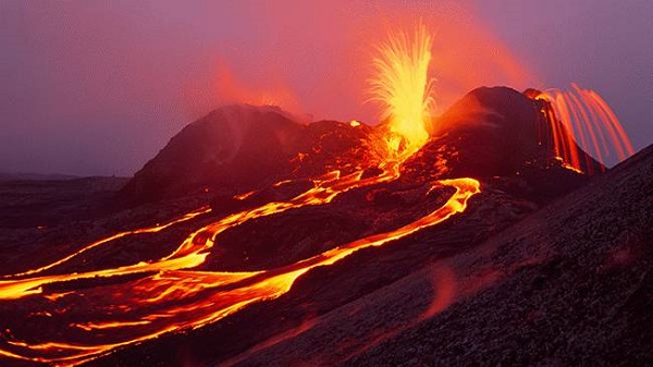
Beginning in May 2018, the park and Kīlauea summit underwent a major change as magma drained from the chamber beneath Halema‘uma‘u Crater, and the caldera began to collapse, triggering 60,000 strong earthquakes and clouds of rock and ash that continued until early August. The seismic activity was primarily centered near the crater, and significantly impacted buildings in the immediate vicinity on Uēkahuna Bluff, including Jaggar Museum and the USGS-operated Reginald T. Okamura facility and equipment, resulting in the closure of the area. The 2018 eruption and caldera collapse were the most destructive eruptive events in Hawai‘i in the last two centuries.